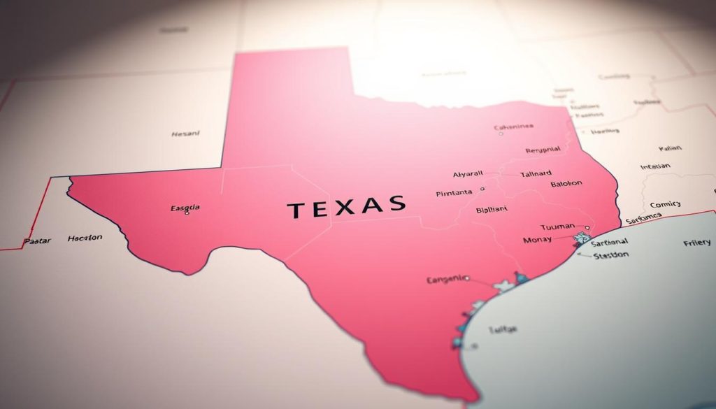
Texas is a geographic giant with unique border features. It connects with both U.S. and Mexican states. Texas shares borders with New Mexico, Oklahoma, Arkansas, and Louisiana.
Texas also has an international boundary with Mexico. This border stretches 1,241 miles (1,997 km)1. Texas is the only state touching four Mexican states: Chihuahua, Coahuila, Nuevo Leon, and Tamaulipas1.
The states around Texas create a diverse landscape. They highlight Texas’s key location in the South Central U.S. These neighbors contribute to Texas’s rich border environment.
Key Takeaways
- Texas borders 4 U.S. states and 4 Mexican states
- The Texas-Mexico border stretches 1,241 miles long
- Texas is unique in bordering four Mexican states
- Neighboring states include New Mexico, Oklahoma, Arkansas, and Louisiana
- The state’s borders represent a complex geographic region
Understanding Texas’s Geographic Position
Texas is a giant in the South Central U.S. It’s a vast state with unique natural features. Texas defines borders for several neighboring states.
https://www.youtube.com/watch?v=ZYLkjljplDg
Texas is the largest U.S. state, covering 268,597 square miles. It stretches nearly 1,000 miles from north to south and east to west.
Natural Boundaries and Landscape
Texas has diverse geography with fascinating natural boundaries. Three major rivers define its borders:
- Rio Grande (forming the border with Mexico)
- Red River
- Sabine River
The state has various geographical regions. These include:
- Coastal Plains
- High Plains
- North Central Plains
- Trans-Pecos region
Strategic Positioning in the United States
Texas links multiple regions in the South Central U.S. It borders Oklahoma, Arkansas, Louisiana, and New Mexico2.
The state’s center is 15 miles northeast of Brady in McCulloch County3. Texas’s diverse landscape and location create a unique geographical tapestry.
States Surrounding Texas and Their Shared Borders
Texas has a unique position with an impressive network of borders. It shares boundaries with four U.S. states and several Mexican territories4. Oklahoma lies to the north, Arkansas to the northeast, Louisiana to the east, and New Mexico to the west5.
Each border of Texas reveals distinctive features. The state’s border system extends into Mexico with remarkable complexity6.
- U.S. Neighboring States:
- Oklahoma: Northern border, characterized by prairie landscapes
- Arkansas: Northeastern boundary with rich agricultural terrain
- Louisiana: Eastern border featuring bayou ecosystems
- New Mexico: Western border marked by desert and mountain regions
Texas shares a 1,241-mile international border with Mexico6. It connects with four Mexican states: Tamaulipas, Nuevo León, Chihuahua, and Coahuila6. This long border includes many crossing points, showing Texas’s strategic importance6.
The total length of Texas’s state borders is about 1,254 miles5. These borders mark more than just land divisions. They represent rich cultural exchanges between different regions4.
Historical Evolution of Texas Borders
Texas borders have a complex history of territorial changes and diplomatic talks. Many nations claimed Texas, including France, Spain, Mexico, and the United States7. In 1845, Texas became the 28th state, marking a significant milestone7.
The Texas annexation was crucial in defining its borders. The Compromise of 1850 set the western boundary from El Paso to the 103rd meridian8. This agreement solved territorial disputes between Texas and neighboring states.
Legal challenges shaped Texas borders into the 20th century. The Supreme Court made key rulings, including the Sabine River border in 19738. In 1995, the Red River Boundary Commission addressed disputes with Oklahoma8.
Today’s Texas borders reflect years of talks and adjustments. The state covers 263,644 square miles of land and 3,695 square miles of water8. Texas remains one of the most geographically important states in the U.S.
FAQ
How many states border Texas?
Four U.S. states share borders with Texas. New Mexico lies to the west, Oklahoma to the north, Arkansas to the northeast, and Louisiana to the east. Texas also shares an international border with Mexico to the southwest.
What is unique about Texas’s geographic position?
Texas is the second-largest U.S. state by area and population. It sits in the South Central region, connecting the Southern United States and the Southwest. The state covers 268,597 square miles and boasts diverse landscapes.
From coastal plains to mountain regions, Texas offers a variety of geographical features. Its size and location make it a key player in the country’s geography.
What natural features define Texas’s borders?
Two major rivers shape Texas’s borders. The Rio Grande forms most of the border with Mexico. The Red River marks part of the northern boundary with Oklahoma.
These rivers have played important roles in Texas’s history and geography. They’ve helped establish the state’s territorial limits over time.
How did Texas acquire its current borders?
Texas’s borders came from complex historical events. The Texas Revolution (1835-1836) and U.S. annexation in 1845 were key moments. The Compromise of 1850 also played a role.
These events changed Texas from an independent republic to a U.S. state. They gave Texas its unique shape and extensive boundaries.
What major cities are located near Texas’s borders?
Several major cities sit near Texas borders. El Paso is close to New Mexico, while Houston is near Louisiana. Dallas is near Oklahoma, and San Antonio is in central Texas.
On the international border, Laredo and El Paso stand out. These cities are important cross-border economic and cultural hubs.
Are there any cultural exchanges between Texas and its neighboring states?
Yes, Texas shares rich cultural exchanges with its neighbors. Music, food, and economic interactions flow across borders. Tex-Mex culture shows influence from Louisiana and Mexico.
Oklahoma and Texas share ranching and Native American heritage. These exchanges make Texas’s culture unique and diverse.
What economic significance do Texas’s borders have?
Texas borders are crucial for the economy. They allow trade through international ports with Mexico and interstate commerce. The Port of Houston and Laredo are among North America’s busiest trade corridors.
These borders contribute significantly to both state and national economies. They make Texas a key player in U.S. trade and commerce.
Source Links
- International border states of the United States – https://en.wikipedia.org/wiki/International_border_states_of_the_United_States
- Texas | Map, Population, History, & Facts | Britannica – https://www.britannica.com/place/Texas-state
- Geography of Texas – https://en.wikipedia.org/wiki/Geography_of_Texas
- Texas – https://en.wikipedia.org/wiki/Texas
- Texas Map: Regions, Geography, Facts & Figures – https://www.infoplease.com/atlas/north-america/united-states/texas-map
- US States That Border Mexico – https://www.worldatlas.com/articles/us-states-that-border-mexico.html
- History of Texas – https://en.wikipedia.org/wiki/History_of_Texas
- Boundaries – https://www.tshaonline.org/handbook/entries/boundaries