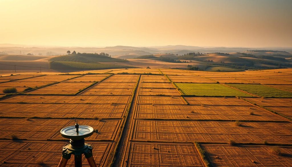
Land area measurements are vital for farmers, real estate pros, and property owners. A section of land is a standard unit for defining property boundaries1. It’s a square plot measuring one mile by one mile, totaling 640 acres12.
Farmland and property acreage measurements follow a systematic approach. This method allows for precise land evaluation. Professionals use this standard unit for accurate property descriptions and transactions1.
Most sections are 640 acres, but some variations can occur. Natural boundaries or previous land subdivisions may cause these differences1. Urban planners and real estate experts use these measurements for various purposes.
They allocate space for roads, public facilities, and zoning1. These precise measurements help ensure efficient land use and development.
Key Takeaways
- One section equals 640 acres of land
- Land measurements are critical for property transactions
- Sections provide a standardized approach to land description
- Acre measurements help farmers plan crop and resource allocation
- Natural terrain can slightly impact section boundaries
Understanding Land Sections and Acreage Measurements
Land measurement is crucial for real estate and agricultural planning. The Public Land Survey System (PLSS) offers a standard way to divide U.S. land3. It helps professionals and landowners grasp parcel size and land measurement accurately.
Definition of a Section in Land Surveying
A section is a specific land measurement unit in the PLSS framework. It typically covers 640 acres, equal to one square mile3. This standard helps document real estate lots and agricultural plots consistently4.
- One section equals 640 acres
- A section can be divided into quarter sections of 160 acres each
- Smaller parcels can be as small as 40 acres
Historical Development of the Public Land Survey System
The PLSS became vital for organizing U.S. land distribution. In the early 1900s, farmers usually owned 160-acre farms, or a quarter section4. This system transformed land management and property documentation.
Standard Units of Land Measurement
Grasping land measurement requires knowing various units. An acre is 43,560 square feet3. Land can be split into different sizes for residential, commercial, and agricultural needs3.
Precise land measurement is the foundation of effective property management and development.
About 60% of U.S. land is privately owned today. Parcels range from small one-acre lots to large multi-section properties3.
How Many Acres in a Section: Breaking Down the Numbers
Land measurement involves precise calculations of acres within a survey system. A standard section, a square mile of land, contains 640 acres5. This unit forms the basis for property assessment and land management.
Sections can be divided into smaller parcels for easier land allocation. Surveyors often use these subdivisions:
- Quarter section: 160 acres5
- Quarter-quarter section: 40 acres
- Eighth section: 80 acres
An acreage calculator helps determine exact property measurements6. The rectangular survey system ensures consistent and accurate property descriptions. This standardized approach is crucial for land survey measurements.
Interesting fact: A township consists of 36 sections, forming a comprehensive land measurement grid5. This system allows for precise geographical documentation and property management.
Land surveyors use these measurements to create accurate property maps. They also help resolve boundary disputes and support legal land transactions. The acreage calculator is now essential in modern land survey practices.
It helps professionals and property owners tackle complex land measurement issues. This tool has become invaluable in navigating the intricacies of property assessment.
Conclusion
Land measurement requires a deep understanding of property mapping techniques and surveying principles. Property mapping is crucial for landowners, urban planners, and real estate professionals. It helps accurately define and utilize land resources7.
Precise acreage measurements impact agricultural planning and legal land transactions. Accurate property mapping involves multiple layers of documentation, including Certified Survey Maps (CSM). These maps undergo rigorous review processes7.
Professionals must track discrepancies between recorded and calculated acres. Mapping errors can significantly influence land valuation and usage7. The Public Land Survey System ensures these measurements maintain high accuracy standards.
Property mapping is vital for responsible land management. It provides crucial insights into land utilization8. Precise measurement techniques help make informed decisions about land use, development, and conservation.
Mastering property mapping helps maximize land potential and resolve boundary disputes. It also contributes to sustainable land use practices. These skills are essential for farmers, real estate investors, and urban planners alike.
Understanding land sections supports legal property definitions and agricultural plot sizing. It’s a key component in comprehensive land management strategies. By embracing these techniques, we can better navigate the complex landscape of land ownership.
FAQ
What exactly is a land section?
A land section is a standard unit of measurement in the U.S. Public Land Survey System. It’s a one-mile square area containing 640 acres. This precise measure is key for land surveying, real estate, and agricultural planning.
How many acres are in a standard section of land?
A standard section of land contains exactly 640 acres. This represents a perfect square mile of land. It can be split into quarter sections of 160 acres each.
How does the Public Land Survey System relate to land sections?
The Public Land Survey System (PLSS) divides public lands using a rectangular grid. It creates townships with 36 sections each. Each section measures one square mile or 640 acres.
This system provides a standard method for land identification and measurement. It was developed in 1785 to systematically divide and sell public lands.
Can sections be divided into smaller units?
Yes, sections can be split into smaller, standard units. A section can be divided into quarter sections of 160 acres. These can be further split into quarter-quarter sections of 40 acres.
This flexibility allows for precise land allocation and property descriptions. It helps in accurately defining and measuring land parcels.
How are land sections used in real estate and agriculture?
Land sections are vital in real estate and agricultural planning. They offer a standard way to describe land parcels and set property boundaries. This system helps calculate land value and facilitates accurate sales and transfers.
What tools can help me calculate land sections and acreage?
Several tools can help you calculate land sections and acreage. These include online acreage calculators and GIS mapping software. Professional land surveying services are also available for precise measurements.
Are land sections used nationwide in the United States?
Land sections are mainly used in public domain states. These include Midwest, Western, and Northwestern United States. States like Ohio, Indiana, Illinois, and most western states follow this system.
However, the original thirteen colonies and some southern states may use different land measurement systems. The Public Land Survey System isn’t universal across the entire country.
Source Links
- How Many Acres Are In a Section of Land? | AcreValue – https://www.acrevalue.com/resources/blog/how_many_acres_are_in_a_section_of_land/
- Section (United States land surveying) – https://en.wikipedia.org/wiki/Section_(United_States_land_surveying)
- How Many Acres in a Section of Land – https://www.uslandgrid.com/news/post/how-many-acres-in-a-section-of-land?srsltid=AfmBOopx1ffeTo_0D3c5AFDH-UUz7LEdXcrUxCeybNP8UQ3_-FZgLIbM
- Quarter-Quarter Sections? What’s a Back Forty? – https://www.lhf.org/2015/07/quarter-quarter-sections-whats-a-back-forty/
- Public Land Survey System – https://en.wikipedia.org/wiki/Public_Land_Survey_System
- Know the US Survey System for the Real Estate Exam – https://www.dummies.com/article/academics-the-arts/study-skills-test-prep/real-estate-licensure-exam/real-estate-license-exam-the-rectangular-survey-system-274745/
- FAQs • What is the difference between recorded acres, calcul – https://www.bayfieldcounty.wi.gov/Faq.aspx?QID=86
- How Many Acres Of Food Plot Should I Plant? – https://www.whitetailhabitatsolutions.com/blog/how-many-acres-of-food-plot-should-i-plant