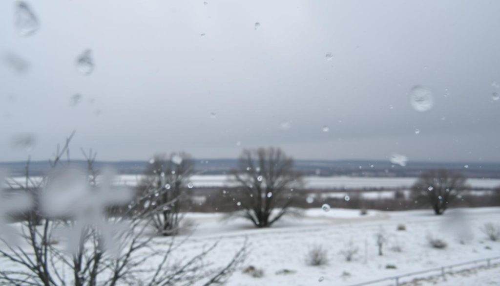
Winter storms create a fascinating blend of precipitation called a wintry mix. This mix combines freezing rain, ice pellets, and snow during a single weather event1. It occurs when both air and ground temperatures drop below freezing1.
Large areas can experience multiple types of precipitation during winter storms. This happens as warm air moves northward1. Complex atmospheric conditions determine the transition between snow, rain, and ice pellets.
Counterclockwise winds around a storm system can trigger dramatic weather changes1. In Commonwealth countries, they might call this mix sleet instead of a wintry mix1.
Key Takeaways
- Wintry mix combines multiple types of winter precipitation
- Temperature layers determine precipitation type
- Wind patterns influence winter storm dynamics
- Precipitation can change rapidly during winter storms
- Regional differences exist in weather terminology
Understanding Winter Precipitation Types and Their Formation
Winter weather creates various forms of precipitation. Atmospheric temperature layers determine whether snow, sleet, or freezing rain falls. This process is a complex interplay of conditions2.
Winter precipitation emerges from unique temperature profiles. Snow forms when cloud temperatures are below freezing. This allows moisture to crystallize into delicate snowflakes3.
Snow can fall at surface temperatures as low as 25°F (-4°C). This happens when temperatures remain below freezing at all altitudes2.
Temperature Layers and Precipitation Dynamics
Winter precipitation forms under specific atmospheric conditions. At 27°F (-3°C), a mix of precipitation types can occur. This includes sleet, especially with warm air layers above freezing2.
- Freezing rain occurs in narrow bands near warm fronts
- Surface temperatures must be at or just below freezing
- Supercooled raindrops can freeze instantly upon contact2
Unique Characteristics of Winter Precipitation
Each precipitation type has its own traits. Freezing rain is the most dangerous for driving. It creates a slippery sheet of ice on roads3.
Sleet forms when warm air meets below-freezing temperatures near the ground. It’s defined as ice pellets3.
Cold-air damming along the East Coast causes freezing rain. Extended low-pressure systems create various winter precipitation types. This makes weather prediction challenging2.
Snow and Sleet Mix: Key Characteristics and Weather Conditions
Winter weather can turn landscapes into tricky environments. Snow and sleet can mix, creating slippery roads. These conditions challenge even seasoned drivers4.
Winter driving hazards stem from how precipitation forms. Snowflakes start high up where it’s colder. They grow from ice crystals around dust or pollen4.
Snowflakes can change as they fall through different temperatures. This transformation can result in sleet or freezing rain5.
- Sleet consists of ice pellets formed when snow melts and refreezes before reaching the ground4
- Freezing rain occurs when liquid precipitation freezes upon surface contact4
- These precipitation types can rapidly change road conditions
Weather radar helps track complex winter storms. It monitors precipitation patterns, showing areas at risk for dangerous driving5.
Radar displays mixed precipitation in distinct colors. Pink, purple, and red often indicate potential winter driving hazards5.
Drivers need to stay alert during winter weather. Slippery roads can form quickly, making simple trips risky. Always check local advisories and prep your car for tough conditions4.
Conclusion
Knowing winter precipitation is key for safety. Snow and sleet mixes create complex, dangerous conditions. Be prepared and navigate carefully to stay safe6.
Mixed precipitation makes driving tricky. Ice can form quickly, causing cars to lose control. This is especially true on bridges and elevated roads6.
Slow down and keep extra space between cars. Stay alert to weather changes for safer winter driving7.
Keep an eye on local weather forecasts. Be ready for possible power outages. Ice can weigh down tree branches and power lines6.
Have emergency supplies and warm clothes ready. Keep your devices charged. These steps can help during unexpected winter weather8.
Knowledge and preparation are your best winter weather tools. Learn how winter weather forms. Practice safety tips to protect yourself and others7.
FAQ
What exactly is a mix of snow, rain, and sleet?
A mix of snow, rain, and sleet is a complex winter event. Different types of frozen and liquid water fall at the same time. This happens when temperature layers in the atmosphere vary.
How does temperature affect winter precipitation?
Temperature layers in the atmosphere determine precipitation type. As it falls through different zones, precipitation can change form. Snow may melt in a warm layer and refreeze in a colder one.
What’s the difference between snow, sleet, and freezing rain?
Snow falls as soft, white crystals in below-freezing temperatures. Sleet forms when snowflakes partially melt and refreeze into ice pellets. Freezing rain is liquid that freezes on contact with cold surfaces.
Why is a snow and sleet mix dangerous for driving?
A snow and sleet mix creates very slippery roads. It reduces tire traction, making it hard for drivers to control their vehicles. This mix can quickly form a thin ice layer on roads and bridges.
How can I prepare for winter precipitation?
Keep an emergency kit in your car with blankets, warm clothes, and food. Check weather forecasts often and avoid unnecessary travel in bad conditions. Use winter tires or chains on your vehicle.
Always drive slower and increase your following distance in wintry weather.
What causes different types of winter precipitation?
Variations in atmospheric temperature layers cause different winter precipitation types. Temperature and humidity at various altitudes determine the form of precipitation. Meteorologists use advanced tech to track these complex conditions.
How do meteorologists predict mixed winter precipitation?
Meteorologists use computer models, satellites, and radar to predict mixed winter precipitation. They analyze temperature profiles, moisture content, and wind patterns. This helps them forecast the likelihood of snow, sleet, and freezing rain.
Source Links
- Rain and snow mixed – https://en.wikipedia.org/wiki/Rain_and_snow_mixed
- Winter Wx – https://www.weather.gov/source/zhu/ZHU_Training_Page/winter_stuff/winter_wx/winter_wx.html
- Freezing rain, sleet, snow, graupel: Explaining winter precipitation types – https://www.wisn.com/article/freezing-rain-sleet-snow-graupel-explaining-winter-precipitation-types/39162133
- What’s the difference between snow, sleet, and freezing rain? – https://extension.illinois.edu/blogs/all-about-weather/2022-11-21-whats-difference-between-snow-sleet-and-freezing-rain
- Snow, Sleet, & Freezing Rain on Weather Radar | Rain Viewer Blog – https://www.rainviewer.com/blog/winter-weather-radar-how-to-spot-snow-sleet-and-ice-storms.html
- Freezing Rain and Sleet – https://www.weather.gov/rnk/measure_icing
- Snow, Sleet, and Freezing Rain: A guide to understanding winter’s wonders and hazards – https://www.yahoo.com/news/snow-sleet-freezing-rain-guide-223956600.html
- A messy mix of snow, sleet, and rain is on the way – https://www.wmtw.com/article/a-messy-mix-of-snow-sleet-and-rain-is-on-the-way/63777985